New NYSDEC freshwater wetland regulations and Ready Scout
Key Takeaways
Wetlands are vital ecosystems protected by an evolving mix of federal, state, and local laws, with major 2024–2026 regulatory changes reshaping compliance requirements across the country. Understanding these shifts is essential for anyone planning development, infrastructure, agriculture, or conservation projects.
- New York State’s freshwater wetland regulations, effective January 1, 2025 (with continued implementation through 2026), expand jurisdiction to an estimated 1+ million additional acres by removing strict reliance on legacy state maps and applying functional criteria instead.
- Compliance now requires more site-specific delineation, permitting, and documentation—particularly for projects in or near wetlands that were previously unregulated.
- Ready Scout provides wetland screening, mapping, permitting support, and monitoring tools to help landowners, developers, and municipalities avoid violations and delays under these new rules.
- This article walks through core laws (Clean Water Act, state programs, Executive Orders), funding opportunities, and practical steps to protect wetlands and restore wetland resources while remaining fully compliant.
Introduction: Why Wetlands Protection Matters Now
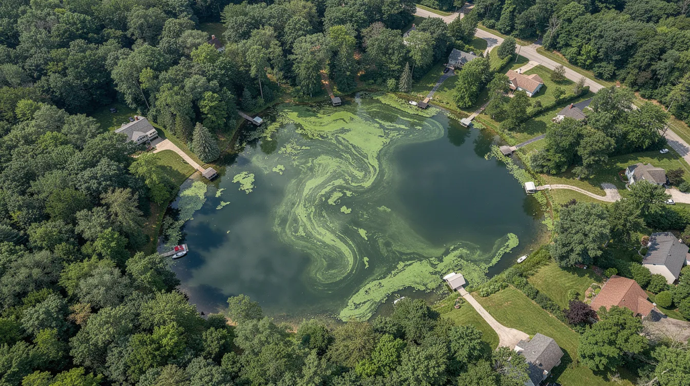
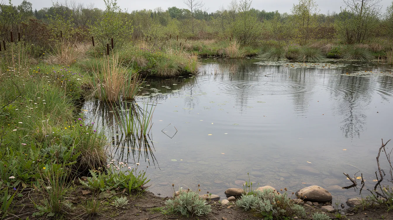
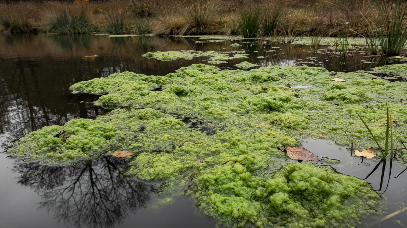
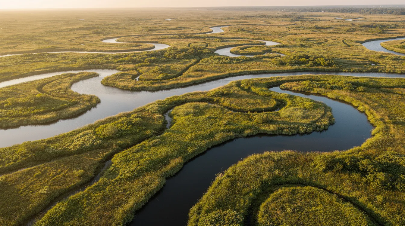
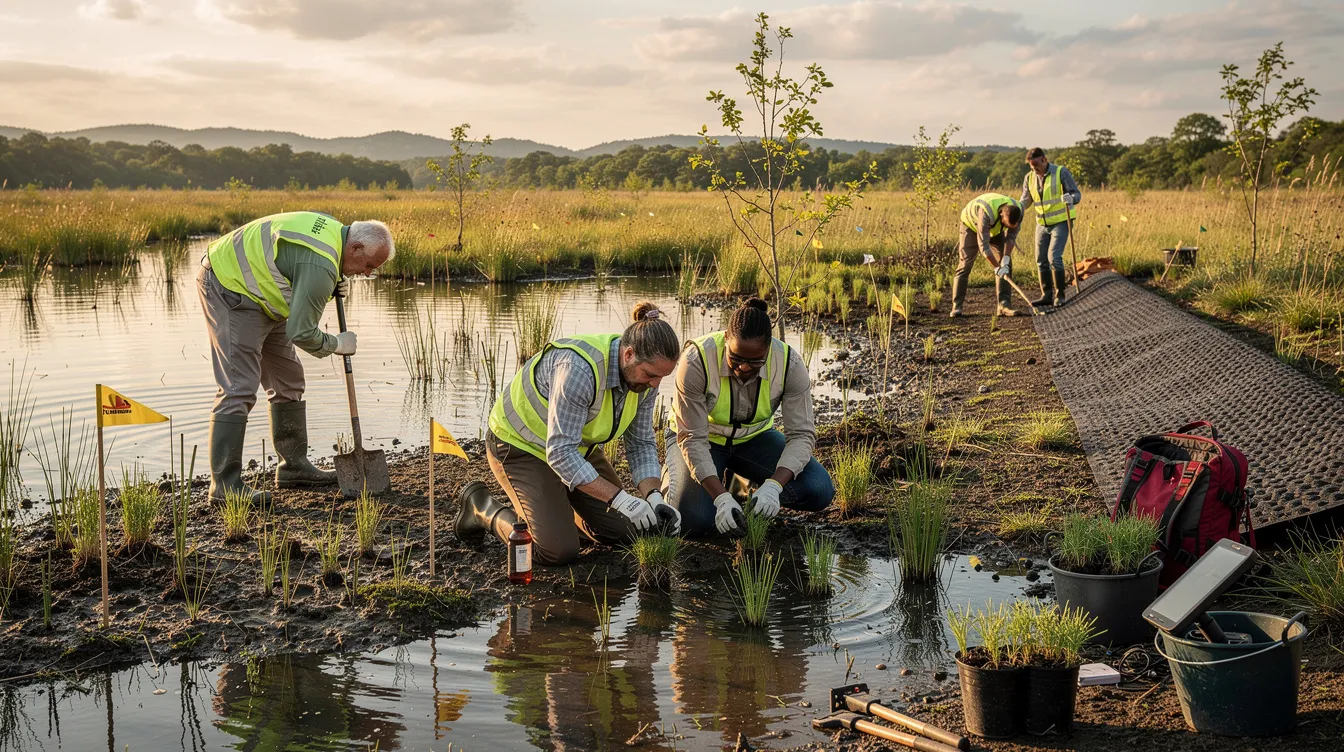
Wetlands—marshes, swamps, bogs, fens, vernal pools, and similar areas—are among the most productive ecosystems on Earth. They store floodwaters when a river overflows its banks, filter pollutants to improve water quality, provide critical fish and wildlife habitats, sequester carbon to buffer against climate change, and stabilize shorelines against erosion. Wetlands also provide essential services like flood control, water filtration, shoreline stabilization, and habitat for diverse species. These functions deliver numerous benefits to communities, from reducing flood damage to supporting biodiversity and recreational opportunities. Wetlands can store up to 1.5 million gallons of floodwater per acre, acting as a natural sponge during heavy rain or snowmelt. Wetlands provide ecosystem services that directly benefit both nature and human communities. They are home to one-third of all threatened and endangered species in the U.S. Additionally, wetlands are integral to the planet's natural water, nitrogen, and sulfur cycles.
Wetlands require saturated or seasonally saturated soils for the growth and reproduction of their characteristic vegetation. This unique requirement—often referred to as "requires saturated"—is essential for maintaining wetland ecosystems and is a key factor in legal definitions and protections.
Historically, the United States has lost over 50% of its original wetlands in many regions since colonial times. This destruction accelerated during the 20th century as development, agriculture, and infrastructure projects drained and filled wet meadows, mud flats, and natural ponds. Wetlands are also polluted by human activities, including plastic pollution, which exacerbates climate change and affects human health. Recent climate-driven flooding—such as the severe storms that struck the Northeast and Gulf Coast from 2021 to 2023—has underscored how valuable intact wetlands are for absorbing excess water and protecting communities downstream.
The legal and policy frameworks governing wetlands protection have grown more complex over time. At the federal level, the Clean Water Act and executive orders set baseline standards, while agencies like the environmental protection agency, army corps of engineers, and wildlife service share regulatory authority. States like California have implemented aggressive “no net loss” policies, and New York State has now finalized major freshwater wetland regulations that became effective January 1, 2025, with ongoing mapping and classification updates through 2026.
Ready Scout serves as a practical partner for navigating this regulatory landscape. By integrating multiple data sources and streamlining compliance workflows, Ready Scout’s lake and wetland management expertise helps project sponsors identify wetlands early, understand applicable rules, and maintain documentation that satisfies federal agencies, state regulators, and funders alike.
Federal Framework for Wetlands Protection
Multiple federal laws and agencies share responsibility for wetland protection, creating overlapping but distinct roles. Understanding this framework is essential for anyone whose proposed action might affect wetland areas, whether through new construction, restoration projects, or related activities.
The U.S. environmental protection agency (EPA), U.S. Army Corps of Engineers (USACE), U.S. Fish and Wildlife Service (USFWS), NOAA, and USDA each contribute to wetlands protection and restoration through different legal authorities. Federal protection focuses primarily on water quality, navigation, habitat conservation for endangered species, and flood risk management. State and local governments build on this federal base with their own programs, often providing additional layers of protection.
The following subsections summarize the most important federal laws and policies that shape wetlands protection and permitting.
Clean Water Act and Section 404
The Clean Water Act (CWA) is the primary federal law regulating pollution of water bodies, including many wetlands classified as “waters of the United States.” Section 404 of the CWA, administered mainly by the army corps of engineers with EPA oversight, regulates the discharge of dredged or fill material into wetlands and other waters.
A Section 404 permit is typically required when activities would place fill material into regulated wetlands—examples include constructing roads, subdivisions, dams, or utility crossings that require filling or grading wet areas. When impacts cannot be avoided, applicants must demonstrate they have considered practicable alternatives and must provide compensatory mitigation (such as restoring or creating wetlands elsewhere) to offset the destruction.
Project proponents must often coordinate CWA Section 404 permits with Section 401 state water quality certifications, which ensure that federal permits meet state standards. This coordination adds complexity but helps protect the beneficial uses of surface or ground water throughout a watershed.
Rivers and Harbors Act, Coastal Zone Management Act, and Related Laws
Section 10 of the Rivers and Harbors Act of 1899 regulates work—such as dredging, piers, and bulkheads—in navigable waters and some connected wetlands. Permits under Section 10 are often processed alongside CWA permits, particularly for projects near tidal wetlands or major waterways.
The 1972 Coastal Zone Management Act (CZMA) aims to balance coastal economic development with protection and restoration of coastal resources, including tidal wetlands, estuaries, and shoreline ecosystems. NOAA’s Office for Coastal Management oversees CZMA programs, while coastal states (such as California and New York) implement approved management plans that strongly influence decisions affecting wetlands in coastal zones.
These statutes interact with federal flood programs, marine sanctuaries, and shoreline management to protect wetlands at the land–water interface—places like the Chesapeake Bay or South Carolina’s Lowcountry, where tidal and saltwater wetlands are vital for native wildlife and plant species. For example, a wetlands restoration project in South Carolina's Lowcountry, led by the South Carolina Ports Authority and Lord Berkeley Land Trust, highlights the region’s ecological and environmental importance by preserving saltwater wetlands and supporting critical ecosystems for native species and coastal resilience.
Executive Orders and Federal Agency Policies
Executive Order 11990 (Protection of Wetlands), signed in 1977, directs federal agencies to avoid adverse impacts to wetlands where practicable and to consider alternatives in their planning. This executive order shapes how federal actions—including grants, loans, and direct construction—must account for wetlands impacts.
Agencies such as HUD, FEMA, and DOT have specific regulations implementing EO 11990 in their funding and project review processes. For example, HUD’s regulations at 24 CFR Part 55 were updated with a Final Rule implementing the Federal Flood Risk Management Standard (FFRMS) that became effective April 23, 2024. These policies require federal decision-makers and their “Responsible Entities” to determine whether a proposed action occurs in or affects wetlands, often using tools like the National Wetlands Inventory (NWI) as a first screen.
When mapping is inconclusive or conditions have changed under normal circumstances, agencies may require site-specific wetland delineations and consultations with environmental officers or specialists. Documentation must demonstrate that the agency finds practicable measures to avoid direct impacts and minimize harm to wetlands.
State and Regional Wetlands Protection Programs
Beyond federal law, states play a central role in regulating, funding, and restoring wetlands through water quality, wildlife, and land use authorities. State-level “no net loss” policies, water quality standards, and endangered species act equivalents can be stricter than federal protections—and may regulate wetlands not covered under federal jurisdiction following recent court decisions.
California exemplifies a state with a mature, multi-agency wetlands framework, combining executive orders, water board authority, coastal protections, and dedicated funding programs. New York’s new freshwater wetland regulations (effective January 1, 2025, with continued implementation through 2026) represent one of the most significant recent expansions of state wetland protection in the U.S.
California’s “No Net Loss” Policy and Water Quality Laws
Executive Order W-59-93, issued in 1993, established California’s statewide “no net loss” policy for wetlands and directed agencies to coordinate on preserving and enhancing wetlands through protection and restoration. This policy set a high bar that other states have increasingly sought to emulate.
California’s Porter-Cologne Water Quality Control Act (enacted in 1969) empowers the State Water Resources Control Board and Regional Water Quality Control Boards to regulate discharges and activities affecting wetlands’ beneficial uses. Section 401 water quality certifications under the Clean Water Act, issued by these boards, ensure that federal permits (like Section 404) meet state standards before work can proceed.
Additional pillars of California’s framework include the California Coastal Act, the California endangered species act, and state wildlife and parks agencies that oversee habitat acquisition, restoration, and long-term management of wetland resources.
New York State Freshwater Wetland Regulations (2025–2026)
New York State Department of Environmental Conservation (NYSDEC) is implementing major reforms to its freshwater wetland program effective January 1, 2025, with continued refinements and mapping work into 2026. These changes fundamentally alter how wetlands jurisdiction is determined and expand the state’s regulatory reach significantly.
Historically, New York’s jurisdiction depended heavily on whether a wetland appeared on official NYSDEC maps and met a size threshold (typically 12.4 acres or 5 hectares). This approach left many ecologically important, smaller, or unmapped wetlands without state-level protections—even when they provided critical flood storage, wildlife habitat, or water quality functions.
The new regulations, adopted under updates to the state’s Freshwater Wetlands Act, remove strict reliance on legacy official maps. NYSDEC can now assert jurisdiction over wetlands that meet functional criteria (such as hydric soils, wetland vegetation, and hydrology) even if not previously mapped. Additionally, 11 statutory criteria define “Wetlands of Unusual Importance” that are regulated regardless of size—including wetlands in flood-risk areas, urban settings, rare species habitat, or productive vernal pools.
NYSDEC estimates that more than 1 million additional acres of freshwater wetlands will fall under state regulation as these rules take effect. The size threshold for general wetlands (those not meeting “Unusual Importance” criteria) remains at 12.4 acres through 2027 but drops to 7.4 acres (approximately 3 hectares) by January 1, 2028. Regulated adjacent areas (buffers) extend 100 feet from wetland boundaries by default, with potentially larger buffers around nutrient-poor wetlands or productive vernal pools.
| Key NY Regulation Change | Value/Requirement |
|---|---|
| Effective date | January 1, 2025 |
| Estimated new regulated acreage | 1+ million acres |
| Current size threshold (general wetlands) | 12.4 acres |
| Future size threshold (effective 2028) | 7.4 acres |
| Number of “Unusual Importance” criteria | 11 criteria |
| Default buffer/adjacent area | 100 feet |
| NYSDEC response deadline for JD requests | 90 days |
| Compliance implications are substantial: more sites will require wetland screening, professional delineation, and potentially permits. Previously “unregulated” areas may now be subject to buffers and activity restrictions. Project planning timelines must account for NYSDEC jurisdictional determination review periods of up to 90 days. |
Ready Scout helps New York project sponsors and land managers rapidly identify likely jurisdictional wetlands within its New Jersey and New York service area, verify regulatory status, and prepare documentation needed for NYSDEC permitting under this 2025–2026 framework.
Other Regional and State Initiatives
Many states create cross-agency teams—such as wetland monitoring workgroups or regional joint ventures—to align regulation, incentives, and restoration funding for wetlands. Some states and regions have adopted their own “no net loss” policies, watershed-based planning, and climate resilience strategies that prioritize wetland restoration to address flooding and drought.
Land trusts, conservation districts, and regional planning agencies often implement on-the-ground protection and restoration using state and federal grants, technical assistance, and conservation easement tools. Local governments may also adopt ordinances that go beyond state minimums, requiring larger buffers or stricter standards for development near wetland areas.
Because definitions, buffers, and permitting thresholds vary widely by jurisdiction, readers should consult state-specific guidance and local partners before finalizing project plans.
Programs, Funding, and Incentives for Wetlands Protection
Successful wetlands protection depends not only on regulation but also on grants, technical assistance, and incentives that help governments, tribes, landowners, and NGOs act. Multiple programs at federal, state, and local levels support acquisition, easements, and restoration of wetlands and floodplains.
Key federal funding sources include EPA’s Wetland Program Development Grants, USDA farm bill conservation programs, and habitat restoration grants from USFWS and other agencies. Effective projects often blend multiple funding streams to maximize impact. Planning tools like Ready Scout’s professional lake consulting and management services can help sponsors identify high-priority, grant-competitive wetland sites and document co-benefits like flood reduction.
EPA Wetland Program Development Grants (WPDGs)
EPA’s Wetland Program Development Grants (WPDGs) provide funding to states, tribes, territories, and local governments to build and refine their wetland protection and restoration programs. EPA Regions periodically issue Notices of Funding Opportunity (NOFOs), and for Fiscal Years 2025–2026, Regions are accepting applications on schedules that vary.
Eligible activities include:
- Developing wetland monitoring methods
- Improving regulatory programs
- Creating restoration plans
- Building decision-support tools
Applicants can use spatial analysis and compliance tools like Ready Scout to better target project areas, document regulatory context, and strengthen the technical basis of their grant proposals—demonstrating clear wetlands impacts and conservation value.
Farm Bill Conservation and Agricultural Wetland Programs
The farm bill, administered through USDA’s Farm Service Agency (FSA) and natural resources conservation service (NRCS), includes multiple programs with strong wetland components. These programs support both voluntary conservation and regulatory compliance on agricultural land.
Key examples include:
- Conservation Reserve Program (CRP): Pays landowners to remove environmentally sensitive land from production and establish conservation cover
- Agricultural Conservation Easement Program (ACEP) – Wetland Reserve Easements: Provides financial and technical assistance for restoring and protecting wetlands on private lands through permanent or 30-year easements
- Environmental Quality Incentives Program (EQIP): Offers cost-share for conservation practices that enhance wetlands on working lands
FSA policy avoids providing assistance for new construction that harms wetlands. “Swampbuster” provisions can affect eligibility for federal farm program benefits when wetlands are drained or filled without authorization. Agricultural producers should combine technical assistance from NRCS with geospatial screening tools like Ready Scout’s water quality monitoring and lake mapping services to identify wetlands on their holdings and prioritize voluntary restoration or conservation easement opportunities.
State, Local, and Nonprofit Incentives
States, land trusts, and conservation NGOs use conservation easement tools, tax incentives, and local bond measures to protect wetlands and surrounding uplands from development. These private parties often work in partnership with public agencies to achieve landscape-scale protection.
Examples of restoration-focused partnerships include habitat joint ventures, state wildlife boards, and coastal conservancies that acquire and restore tidal and inland wetlands using grant funds and voter-approved bonds. Many of these programs prefer projects in strategic locations—flood-prone corridors, migratory bird flyways, urban heat islands—making data-driven site selection and mapping tools especially valuable.
Communities can use tools like Ready Scout’s lake community self-sufficiency consulting to assemble baseline wetland inventories, prioritize sites for open space protection, and track progress toward “no net loss” or net gain of wetlands over time.
Implementation, Compliance, and Documentation Requirements
Wetland protection is enforced through permits, environmental review, and documentation requirements that vary among federal, state, and local agencies. Understanding the typical compliance workflow helps project sponsors avoid delays and enforcement actions.
The standard workflow includes:
- Initial desktop screening (using NWI, state maps, soils data)
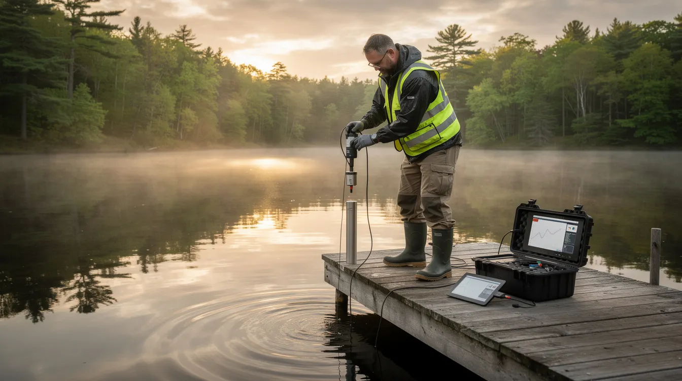
- Site visits and professional wetland delineation
- Impact avoidance and minimization analysis
- Permit applications and agency coordination
- Mitigation design (if impacts are unavoidable)
- Long-term monitoring and reporting
Agencies like HUD, USACE, EPA, and state environmental departments provide worksheets, checklists, and guidance documents that must be used to record wetlands considerations. Ready Scout streamlines early-stage screening, organizes site information, and maintains a defensible record of wetlands considerations across project phases, complementing its expert wetland invasive species control services.
HUD, Executive Order 11990, and Environmental Review
Under Executive Order 11990 and HUD’s regulations at 24 CFR Part 55 (including the Final Rule implementing the Federal Flood Risk Management Standard effective April 23, 2024), HUD-funded projects must evaluate impacts to wetlands and consider practicable alternatives.
Responsible Entities (REs) use tools like the National Wetlands Inventory (NWI) maps for primary screening but must conduct additional evaluation and consult HUD Environmental Officers when maps are inconclusive or site conditions differ. Key documentation includes:
- HUD Wetlands Protection Worksheet
- Wetlands Partner Worksheet
- Alternatives analysis
- Mitigation commitments
REs and their consultants can use platforms like Ready Scout to centralize wetland mapping, field notes, photos, and permitting correspondence—simplifying HUD monitoring and audits while demonstrating compliance with federal activities requirements.
Permitting, Mitigation, and “No Net Loss” Practice
The sequencing principle widely applied in wetland permitting follows a clear hierarchy: avoid impacts where practicable, minimize unavoidable impacts, and compensate for remaining impacts through restoration, creation, enhancement, or preservation of wetlands. This approach operationalizes “no net loss” goals.
Mitigation mechanisms include (often supported by transparent access to aquatic management product label information):
- Mitigation ratios: Replacing impacted acres at ratios greater than 1:1 to account for temporal loss and uncertainty
- In-lieu fee programs: Paying into funds that support consolidated restoration efforts
- Mitigation banks: Purchasing credits from pre-approved, established wetland banks
Documentation requirements include wetland delineation reports, functional assessments, mitigation plans, and long-term monitoring reports demonstrating that performance standards are met. Tools like Ready Scout track the location and status of impact and mitigation sites, link them to permits and monitoring obligations, and support compliance across multi-year project timelines—helping minimize short term adverse impacts to aquatic life and vegetative or aquatic life.
How Ready Scout Supports Wetlands Protection and Regulatory Compliance
Ready Scout is a specialized platform that helps project sponsors, agencies, and landowners identify wetlands, understand applicable regulations, and manage compliance from planning through construction and monitoring, building on its professional lake consulting and management services. The platform is particularly valuable under evolving frameworks like New York’s 2025–2026 freshwater wetland regulations, where many newly regulated wetlands are not yet familiar to landowners or fully reflected on older maps.
Ready Scout’s core wetland-related capabilities, backed by leadership from an experienced Certified Lake Manager, include:
- Desktop screening and mapping
- Regulatory context analysis
- Documentation support
- Monitoring and verification
Ready Scout is designed to complement—not replace—formal wetland delineations, agency determinations, and legal advice. However, it substantially reduces the risk of costly oversights and delays by providing assistance during early project phases.
Rapid Wetland Screening and Mapping
Ready Scout aggregates multiple data sources—NWI, state wetland inventories, hydric soil maps, elevation data, floodplains, and local layers—into an intuitive interface that flags likely wetlands and buffers on a parcel or project corridor, integrating insights from its expert plant and algae management services.
Users in New York can quickly see where NYSDEC freshwater wetland jurisdiction is likely under the new 2025 rules, including areas not previously mapped. This allows teams to redesign footprints before investing in detailed engineering or committing to site layouts that would trigger extensive permitting.
Planners, engineers, and environmental consultants can export maps and screening summaries to include in early feasibility studies, zoning applications, and stakeholder briefings. Ready Scout’s outputs help prioritize where formal wetland delineations and agency consultations are most critical, improving both budgets and schedules.
Regulatory Context and Permit Strategy
Ready Scout provides a structured way to identify which federal, state, and local wetland-related requirements are likely to apply based on project location and characteristics—whether CWA Section 404, NYSDEC freshwater permits, local wetland ordinances, or combinations thereof.
Users can log potential permit pathways, thresholds (such as activity-specific exemptions or buffer requirements), and anticipated review timelines to support realistic project scheduling. The platform helps New York users distinguish between:
- Wetlands clearly mapped by NYSDEC (definitively jurisdictional)
- Areas likely regulated under new functional criteria (probable jurisdiction)
- Areas that may remain outside jurisdiction (lower regulatory risk)
Ready Scout supports collaboration among owners, consultants, and attorneys by keeping all wetland-related regulatory notes and decisions in a single, shareable workspace—facilitating indirect support for project teams working across multiple parcels or jurisdictions.
Documentation, Reporting, and Long-Term Monitoring
Ready Scout allows users to attach delineation reports, permit conditions, mitigation plans, monitoring data, and photo logs directly to mapped wetland and mitigation polygons. This makes it easier to respond to agency information requests, demonstrate compliance during inspections, and prepare concise summaries for funders, boards, or auditors.
The platform tracks multi-year monitoring obligations associated with mitigation sites, alerting users to upcoming reporting deadlines or performance milestones. For HUD, state, and grant-funded projects, maintaining this organized digital record streamlines environmental review closeout and reduces the risk of findings during program monitoring.
Practical Steps for Protecting and Restoring Wetlands
While laws and tools are essential, meaningful wetland protection also depends on everyday decisions by landowners, local governments, and community groups. The following guidance outlines practical actions different audiences can take to avoid direct harm, support restoration, and build resilience for water bodies and animal habitat.
Collaboration opportunities abound—participating in watershed councils, volunteer restoration days, and citizen science monitoring programs focused on wetlands. Combining local knowledge with platforms like Ready Scout helps identify priority wetlands, communicate risks and benefits, and plan projects that work with water rather than against it.
Actions for Landowners, Developers, and Local Governments
For landowners and developers:
- Conduct early wetland screening using tools like Ready Scout before finalizing site layouts
- Hire qualified wetland scientists to delineate boundaries when screening indicates potential wetlands
- Use low-impact development practices (clustered development, conservation design, vegetated buffers) to reduce direct and indirect impacts
- Consult with NYSDEC or relevant agencies early to understand jurisdiction and permit requirements
For municipalities:
- Integrate updated wetland maps and floodplain information into comprehensive plans, zoning, and subdivision regulations
- Steer growth away from high-risk or high-value wetland areas
- Adopt Ready Scout as a standard pre-application screening tool so applicants address wetlands proactively
- Consider adopting local ordinances that protect wetlands generally and require frequency sufficient buffers
Individual and Community Engagement
Individuals can support wetlands through multiple actions:
- Support land trusts working to protect wetlands in your region
- Participate in World Wetlands Day (February 2) events
- Volunteer for local restoration projects
- Advocate for strong local wetland ordinances at public meetings
Simple household actions also benefit wetlands indirectly: reducing fertilizer and pesticide use, managing stormwater on-site through rain gardens or permeable surfaces, and properly disposing of waste to prevent pollution of ground water and water bodies.
Schools, community groups, and local governments can use wetlands as outdoor classrooms, raising awareness about biodiversity, climate resilience, and fish and wildlife habitat. Communities can share maps and analyses generated with tools like Ready Scout at public meetings to build shared understanding of local wetland networks and flood risks—supporting informed decisions about land use and conservation priorities on federal lands and private parcels alike.
Frequently Asked Questions (FAQ) About New NYSDEC freshwater wetland regulations and Ready Scout
This section answers common questions not fully addressed above, focusing on practical concerns about new regulations, mapping, and project planning.
How do I know if my property in New York is affected by the 2025 freshwater wetland regulations?
Property owners should start by checking NYSDEC’s updated online wetland maps and interactive tools, recognizing that jurisdiction is no longer limited to previously mapped wetlands. If a site includes wet, ponded, or areas with seasonally saturated soil conditions—or shows hydric soils and wetland vegetation—owners should assume state jurisdiction is possible and consult NYSDEC or a qualified wetland professional.
Using Ready Scout for an initial desktop screening can highlight likely wetlands and regulatory red flags before investing in surveys or design work, saving time and reducing risk of surprises later.
Do all wetlands require a permit to build nearby, or only if I fill them?
Many programs regulate not only direct filling or dredging of wetlands but also certain activities within designated buffers or adjacent areas that could degrade wetland functions. Thresholds differ by jurisdiction—some local ordinances regulate tree clearing, grading, or stormwater discharges near wetlands even when no fill is placed in the wetland itself.
Project proponents should check with relevant agencies early and use tools like Ready Scout to understand where regulated buffers may apply on their site. This helps avoid violations that can result from misunderstanding what triggers permit requirements.
Can small or seasonal wetlands really be regulated and protected?
Yes. Many small, isolated, or seasonal wetlands (such as vernal pools) provide critical habitat and flood storage, and states increasingly recognize their importance. New York’s updated program and several other state frameworks explicitly consider functional value—not just size or continuous surface connection—when asserting jurisdiction.
Any wet areas that pond water seasonally or support wetland indicator species should be treated cautiously until a professional assessment confirms their regulatory status. These wetlands store carbon, support aquatic life, and provide flood attenuation even when they appear dry during parts of the year.
How does Ready Scout differ from free online wetland maps?
Free tools like the National Wetlands Inventory provide useful background but may be incomplete, outdated, or not tailored to specific regulatory programs—especially where rules are rapidly changing as they are in New York. Ready Scout integrates multiple data sources, organizes regulatory context, and adds project-specific workflows, documentation, and collaboration features that go far beyond static maps.
While Ready Scout does not replace professional judgment or agency determinations, it significantly improves early decision-making and compliance planning by consolidating information that would otherwise require hours of research across multiple platforms.
What should I do first if I discover a potential wetland conflict late in project design?
Pause ground-disturbing work immediately and consult with a qualified wetland scientist and relevant agency staff to understand the scope of the issue and possible remedies. Use Ready Scout to rapidly assemble and visualize all available wetland, floodplain, and regulatory information for the site, helping the team evaluate avoidance options and mitigation scenarios.
Document all steps taken—including consultations and design changes—to demonstrate good-faith compliance and reduce the risk of enforcement actions or extended delays. Early engagement with regulators typically produces better outcomes than attempting to proceed without clarity on jurisdiction.
Ready Scout Can Help
Wetland regulations are evolving rapidly, and the stakes for getting compliance right have never been higher. Whether you’re planning development, pursuing conservation, or managing agricultural land, early wetland identification is your best investment. Start your wetland screening today with Ready Scout to identify risks before they become costly delays—and to protect wetlands that deliver critical ecosystem services for communities throughout New York and beyond.